
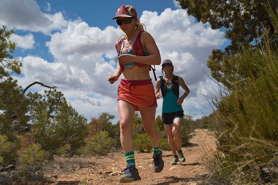
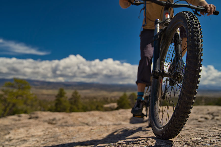
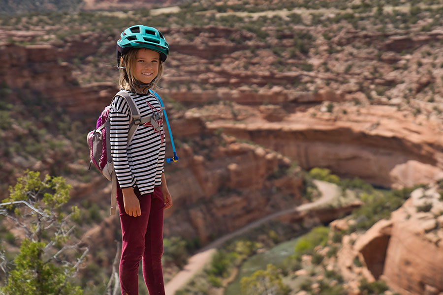
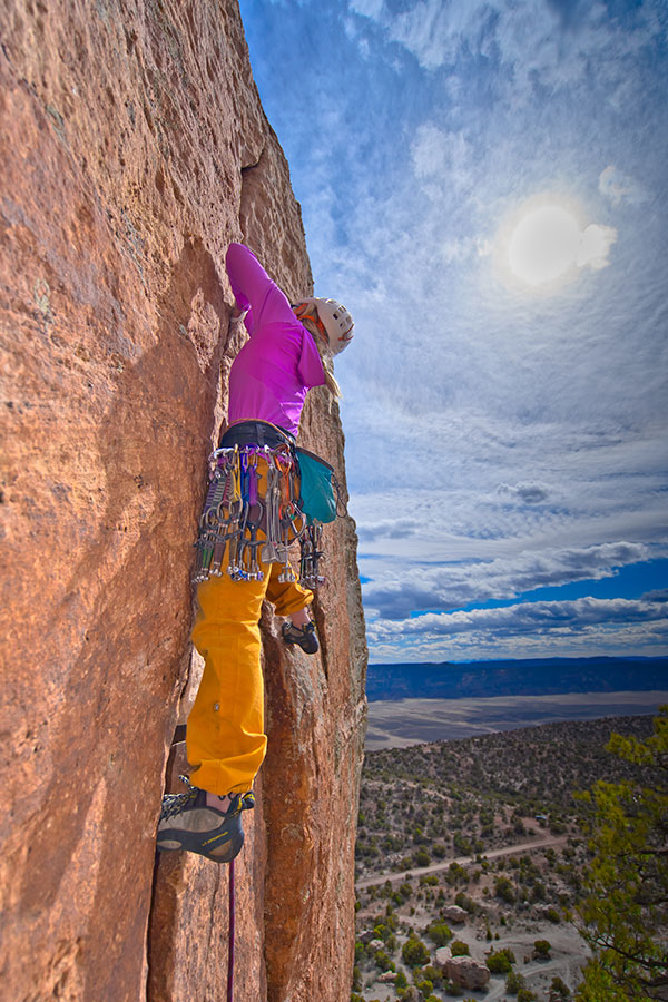
The remote, rugged area showcases the diversity of Colorado’s landscape with vast wilderness encompassing dramatic red rock canyons, high desert mesas, wide-open pastureland, and the confluence of two river systems. This is especially enhanced with dramatic dark skies.Eighty percent of the land in this region is public, allowing for some of the best outdoor and family recreation in the state including epic mountain biking, hiking, off-roading, hunting, horseback riding, rafting & SUP, and even skiing and snowmobiling.
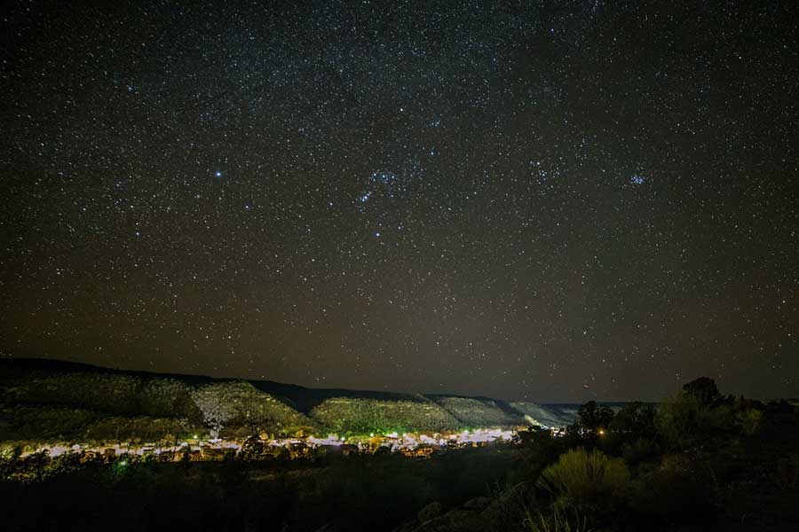
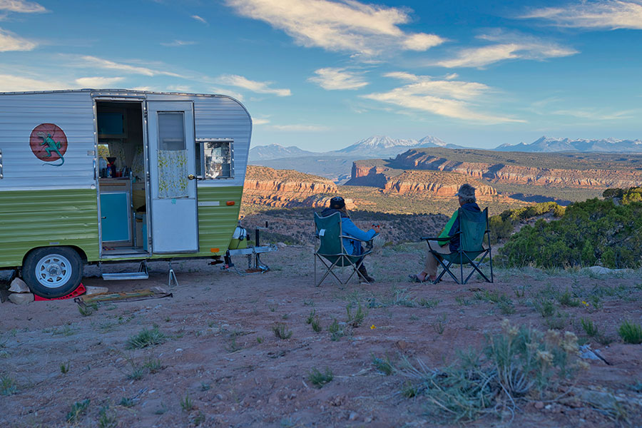
DARK SKIES
Locals will tell you the stars in the West End are stunning and the International Dark Sky Association agrees. Norwood was the first town on Colorado’s Western Slope to be designated as a “Dark Sky Community”. Nucla and Naturita are the newest Dark Sky communities added in 2021. This honor has currently been awarded to 22 International Dark Sky Communities around the world, 15 of which are in the US, with others being in Canada, Denmark, Germany, Scotland, and the U.K.
International Dark Sky Association »
West End Dark Sky Alliance Facebook Page »
Norwood Dark Sky Advocates Facebook Page »
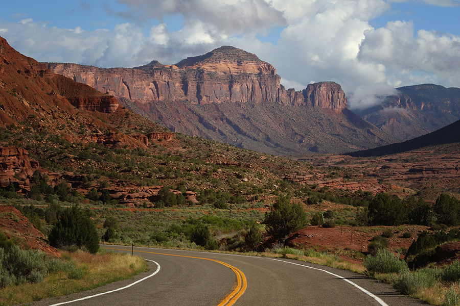
UNAWEEP-TABAGUACHE SCENIC & HISTORIC BYWAY
Celebrate the 30th Anniversary of the UTB! Take this unforgettable 133-mile journey through canyons, plateaus, mountains, and ancient archeological sites that follow the Dolores and San Miguel Rivers through the West End of Colorado. Rich in history and amidst some of the wildest BLM land in America, this byway is carved through gorgeous red sandstone of Uncompahgre Plateau. Stop at scenic points, or trailheads for hikes or the famed Hanging Flume. Although primarily an auto tour, there are several points of interest that can only be reached by way of short hikes—a couple-hundred yards or less.
Unaweep-Tabequache Scenic & Historic Byway »
The Hanging Flume »

MUSEUMS
The Rimrocker Historical Society (RHS) has a small museum hosting artifacts of the area’s natural history, Native American history, pioneer history and mining history. RHS also maintains a picnic area and campground at the site of the historic Uravan Ball Park. In 2013 they purchased the historic Vestal House, in Nucla, that is presently undergoing a preservation project through History Colorado. RHS was founded in 1966 by a group of local citizens wanting to record and preserve the area’s rich history. It was incorporated in 1974 as a Colorado non-profit.
Wright’s Mesa Historical Society Museum, located in the old log cabin on Lucerne Street in Norwood.
Rimrocker Historical Society »
RHS Facebook Page »
Wright’s Mesa Historical Society Museum »

AGRITOURISM
Agritourism is exactly what it sounds like…an intersection of agriculture and tourism where a budding industry is emerging to provide an educational experience to visitors. This could be a tour of an orchard, classes on cheese making, wineries and much more. In the West End, we have a handful of locals that are opening their ranches or homes to the public to give them an insider’s look at agriculture in Colorado.
Apple Core Project »
Farm to Table Movement »
Norwood Farmers Market »
West End Farm & Craft Market »
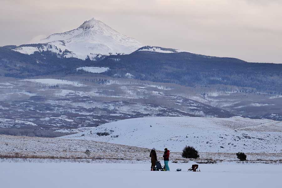
WRIGHT’S MESA
Wright’s Mesa, which includes the Town of Norwood, has a mild climate and countless outdoor activities. With thousands of acres of BLM and National Forest public land, featuring high desert to rugged mountain terrain, everyone in your family or party will find something to love about this historic mesa.
Lone Cone
Miramonte Reservoir »
Dan Noble State Wildlife Area »
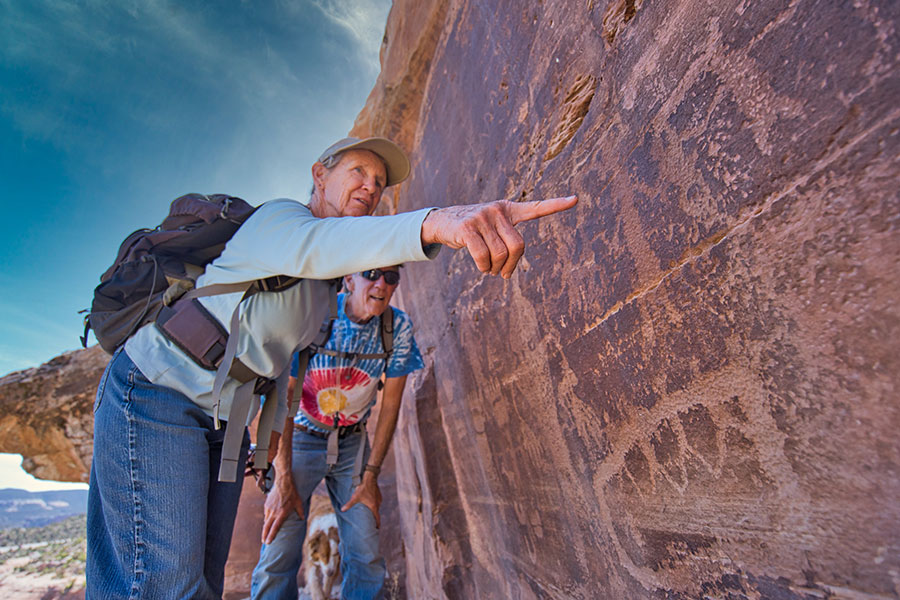
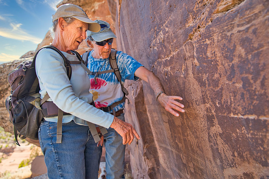
PETROGPYPHS
The Rimrocks of Western Montrose County are rich with history. One hundred and fifty million years ago, this landscape included dinosaurs and lush plants that were eventually deposited in sandstone beds that now define the Morrison Formation. Its massive rock outcroppings of red and gray sandstone provided an excellent medium for the early inhabitants of this area to tell their stories.
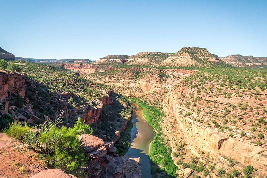
DOLORES RIVER
The Dolores River is a tributary of the Colorado River. This 102 mile stretch of river carves its way through broad valleys and tight canyons with sheer canyon walls. The river drains a rugged and arid region of the Colorado Plateau west of the San Juan Mountains and features flat water to class IV rapids. Its name derives from the Spanish El Rio de Nuestra Señora de Dolores, River of Our Lady of Sorrows.
Confluence – Tying into the Y-11 Road »
Dolores River Boating Map »
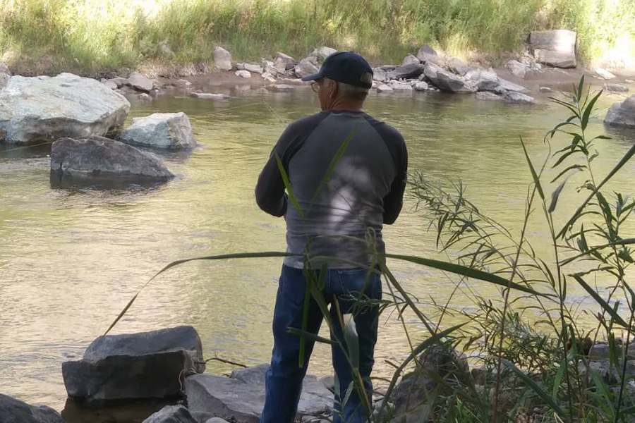
SAN MIGUEL RIVER
The San Miguel River starts in the San Juan Mountains southeast of Telluride and flows northwest, along the Uncompahgre Plateau, past the towns of Placerville and Naturita and joins the Dolores in western Montrose County approximately 15 miles east of the state line with Utah. This river is just 81 miles long with lots of campgrounds, picnic areas and boat ramps along the way. Fly fishing can be found on the Upper San Miguel.
PARADOX TRAIL
The Paradox Trail is located in western Montrose County, Colorado and traverses a route of over 118 miles through various terrain. The route offers trail users some of the most rugged and remote backcountry terrain in the lower 48. There are six large tracks of public lands being administered as wilderness in the region, and while the trail is predominantly on two-track, don’t be fooled thinking this is an easy or fast ride. Travellers continually underestimate the trail’s ungroomed and ever changing conditions at altitudes that range from 9,500 feet on the Uncompaghre Plateau to the warmer lower elevations (4,800 ft.) along the Dolores River.
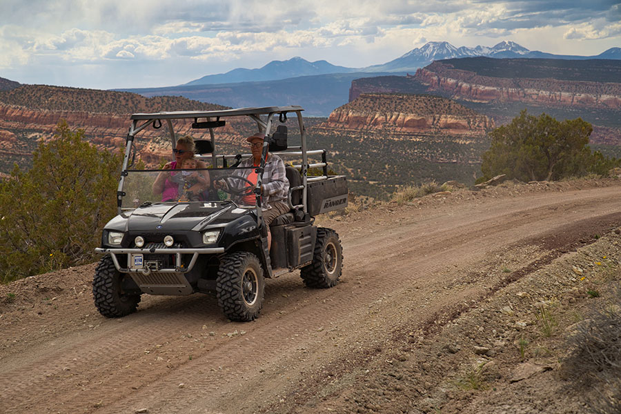
RIMROCKER TRAIL
The Rimrocker Trail was designed to create economic opportunity by capitalizing on outdoor recreation within the Uncompaghre and Manti La Sal National Forests. One of the goals of the trail is to introduce visitors to Montrose County and Colorado’s West End. The trail winds through the La Sal Mountains, Paradox Valley and historical highlights such as Hanging Flume, the mining town of Uravan and mines. Campgrounds are available throughout the trail.

Keep In Touch